
No ordinance ever banned the car in Giethoorn. No council in the 1920s stood up and declared this little Dutch village off-limits to automobiles. The truth is both less dramatic and more interesting: for most of Giethoorn’s history, there was simply nowhere to drive. The ground itself — soft, waterlogged peat, dug out ditch by ditch for fuel — never left room for a road. By the time the rest of the world started debating whether city centers should be “car-free,” Giethoorn had already been getting around by boat for roughly two centuries.
What makes the story worth telling now isn’t just the history. It’s that the fight to keep Giethoorn’s historic core free of cars is not settled — it’s happening right now, in municipal parking plans and permit fees being argued over in 2024, 2025, and 2026, as a village of under 3,000 people tries to absorb visitor numbers commonly cited in the hundreds of thousands to over a million a year, without losing the thing they came to see.
How this guide was built: this profile draws on the official municipal planning documents published by Gemeente Steenwijkerland for its “Toekomstvisie Giethoorn” and parking-management program, English and Dutch Wikipedia’s sourced history pages, and travel-history reporting on the village’s 20th-century rise to fame, cross-checked against each other. Where the historical record is a local legend rather than a documented fact, that’s flagged explicitly below. Last verified: October 2026.
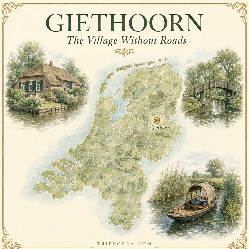
Giethoorn at a glance
- Location: Overijssel province, northeastern Netherlands, roughly 100 km (62 mi) northeast of Amsterdam
- Municipality: Steenwijkerland (Giethoorn was its own municipality until 1973, then part of Brederwiede until that merged into Steenwijkerland in 2001)
- Population: roughly 2,600–2,800 residents
- Known for: a historic core with no through-road for cars — footpaths, canals, and wooden bridges instead
- Nearest train station: Steenwijk, with onward bus service to the village
- Best time to visit: weekday mornings outside July–August, when the day-trip coach traffic is lightest
A flood legend and a name made of goat horns
According to local tradition, Giethoorn’s name comes from an unlikely discovery. The St. Elizabeth’s Flood of 1170 is said to have drowned a large number of wild goats in the area; when settlers later worked the land, they turned up quantities of goat horns in the soil. The village that grew up here by around 1230 became known as “Geytenhoren” — horn of goats — which softened over the centuries into Giethoorn.
That’s the story as it’s told locally and repeated across travel and history write-ups; it isn’t the kind of claim with a surviving 13th-century document behind it, so it’s worth holding as tradition rather than verified fact. What’s much better documented is what happened next, and it has nothing to do with goats.
Why peat diggers left no room for roads
Giethoorn sits on peat — compressed, partly decayed plant matter that was, for centuries, one of the only fuel sources available in a country with almost no forests or coal left near the surface. From roughly the 1700s onward, residents here made their living digging it up, drying it, and selling it as turf fuel.
Peat extraction is messy work, and it reshapes land permanently. Diggers cut channels through the bog to reach workable turf, hauled the cut peat out by boat, and left behind long, narrow pits. Rain and groundwater filled those pits in, and over generations they became the lakes and canals that define the area today — including the Bovenwijde and Beulakerwijde lakes nearby and the narrow waterways that still run through the village itself.
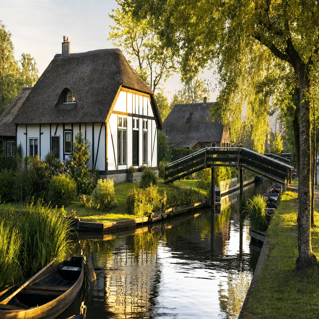
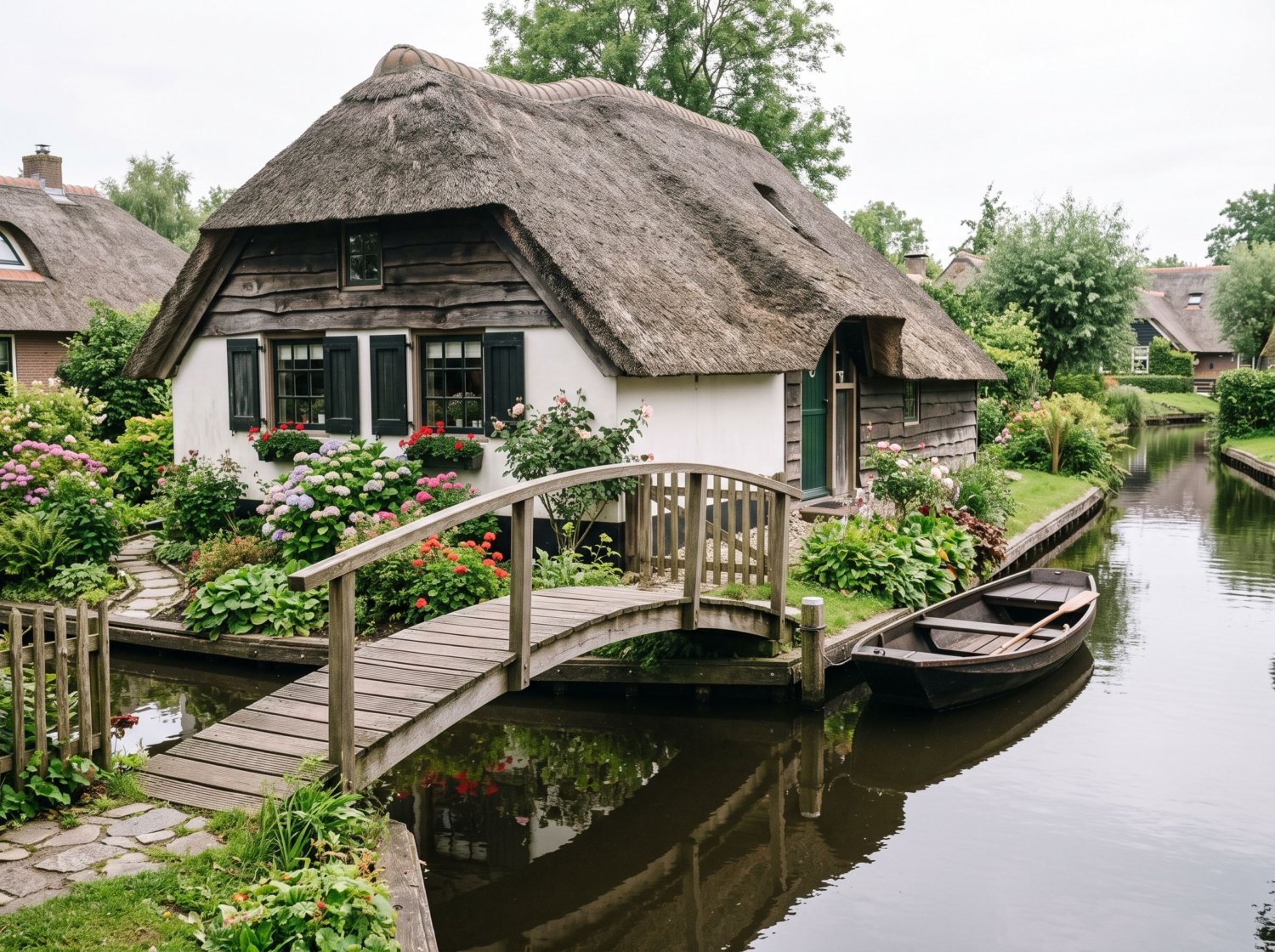
The upshot: the ground under old Giethoorn was never solid enough, or dry enough, to carry a road economically. Houses went up on small man-made islands between the diggings, connected to each other by wooden footbridges rather than streets. Boats weren’t a lifestyle choice here — for a very long time, they were the only practical way to reach your own front door.
The Binnenpad: a village built around a footpath, not a road
The spine of the historic village is the Binnenpad, a narrow pedestrian path that runs along the canal through the oldest part of Giethoorn, crossed by dozens of small wooden bridges. There’s no parallel car lane. If you’re staying in the old center, the last stretch to your door is on foot, by bike, or by boat — not by car, because there’s no paved way to do it.
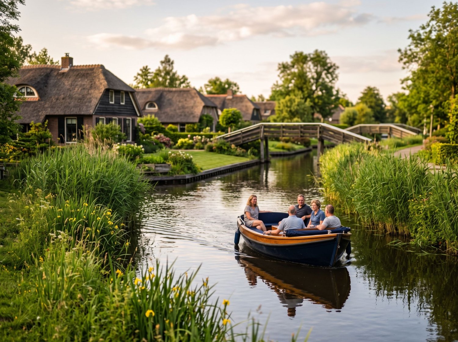
Locally, boats here are often called “whisper boats” (fluisterboten) — small electric or quiet-motor craft used for everything from grocery runs to school pickup to, these days, tourist rentals. The electric-motor preference isn’t just about charm: it keeps a narrow, residential waterway livable, without the noise and exhaust that a petrol-engine fleet would add to a place this compact.
From forgotten peat village to a film set, a Monopoly square, and a million visitors
Giethoorn stayed a working, mostly unremarked peat-and-farming community well into the 20th century. That changed in 1958, when Dutch filmmaker Bert Haanstra shot his comedy Fanfare in the village, giving Giethoorn its first real wave of domestic recognition as a scenic curiosity rather than just a place that made turf.
International fame came much later and much faster. In 2015, Giethoorn was chosen — reportedly from 182 contenders worldwide — to appear on an international edition of the Monopoly board game. Around the same period, photos of the village’s canals and thatched roofs began circulating widely on Chinese travel and social platforms, and Giethoorn turned into one of the Netherlands’ most searched day-trip destinations for international coach tours, with visitor estimates for the village now commonly cited in the hundreds of thousands to over a million a year.
That’s the part of the story that makes the “car-free” label complicated. Giethoorn isn’t a quiet secret being protected from discovery — it’s already one of the most visited small villages in the country, and its car-free core is now something the municipality has to actively manage, not just preserve by default.
The modern fight to stay car-light
This is where the “banned cars before it was cool” framing actually lands closest to the truth — just not in the 1920s. Over the past few years, the municipality of Steenwijkerland has been running an active program, “Samen aan de slag in Giethoorn,” specifically to manage traffic, parking, and tourism pressure around the historic core.
A December 2023 municipal newsletter described a chronic problem: visitors parking along the grass berms of Kerkweg, narrowing the road enough to block emergency vehicle access, with at least one enforcement officer and up to four seasonal patrol staff working the area daily through the summer. The fixes rolled out from 2024 onward include planted vegetation barriers to physically block informal berm parking, roughly 66 new formal parking spaces added nearby, and an expanded dynamic signage system directing visitors to open lots in real time.
A 2026 proposal goes further: paid visitor parking at the main P1 and P2 lots (in the range of €6–10 per day, or roughly €1.50–2.50 per hour with the first hour free), alongside a resident parking permit system — around €45.10 a year, valid 9:00 to 19:00 — specifically so Giethoorn’s own residents aren’t priced or crowded out of parking near their own homes. The municipality has also stated a direct goal of making the Kerkweg/Binnenpad corridor “autoluw,” or car-light, by routing through-traffic around the historic core rather than through it.
None of that is a hundred-year-old ban holding firm. It’s a village with thousands of modern visitors a day, in cars, actively re-fighting a version of the same problem its geography solved for free in the 1700s — just with parking meters and permits instead of bog.
Giethoorn versus the new “car-free neighborhood” trend
It’s worth putting Giethoorn next to the car-free developments the Netherlands is building on purpose today. Merwede, a new district under construction in Utrecht, is marketed as the country’s first deliberately car-free residential neighborhood — planned from scratch around cycling and public transit, with parking engineered out of the design before a single resident moved in.
Giethoorn’s car-free character wasn’t a design brief. It was a side effect of 18th-century fuel economics that nobody planned as urban policy — and it’s only in the last few years, under tourist-traffic pressure that didn’t exist when the canals were dug, that the village has needed an actual car-free policy at all. Two very different Dutch villages arrived at “no cars in the center” from opposite directions, roughly three centuries apart.
The honest downsides
Giethoorn in July or August is not a quiet canal village — it’s a very busy one. Coach parking fills early, the Binnenpad gets genuinely crowded by midday, and boat-rental queues at the main docks can run long. The parking problems described above aren’t hypothetical; they’re the reason the municipality is actively building new enforcement and payment systems right now.
If you’re picturing a sleepy, undiscovered hamlet, recalibrate: this is one of the most visited villages in the Netherlands, and a day trip here in peak season has more in common with a crowded landmark than a hidden gem. Arriving early on a weekday, or visiting in shoulder season (spring or early autumn), makes a real difference.
Getting there and getting around
- By train: the nearest station is Steenwijk, with connecting bus service into Giethoorn — the practical option if you don’t want to deal with the parking situation at all.
- By car: expect to park at one of the municipal lots (P1–P7, plus P Kruumte) on the edge of the village and walk or take a connecting shuttle in; driving into the historic core itself isn’t an option regardless of season.
- Once you’re there: rent a whisper boat (no license needed for the small electric models), book a guided canal tour, or simply walk the Binnenpad — most of what makes Giethoorn worth seeing is within easy walking distance along the water.
FAQ
Did Giethoorn actually ban cars a century ago?
Not by any formal ban. The historic core never had roads because the peat-bog ground couldn’t support them economically, going back roughly two to three centuries. The active policy work to keep the center car-light is recent — mostly the last few years — not a hundred-year-old ordinance.
Is Giethoorn really car-free?
The historic core along the Binnenpad has no through-road for cars. The wider village and newer areas do have roads and parking, and the municipality is actively working to keep cars out of the oldest, most photographed stretch specifically.
No — it’s one of the most visited small villages in the Netherlands, with visitor numbers commonly cited in the hundreds of thousands to over a million annually. Go for the scenery and the history, not for solitude, unless you arrive early on a weekday in shoulder season.
What’s the best way to see the canals?
Renting a small electric whisper boat (no boating license required for the standard rental models) gives the most flexibility. Guided tours are a good option if you’d rather not navigate the narrower stretches yourself.
Giethoorn’s other overtourism problem has an echo in Hallstatt’s fight against its own fame, and if a different kind of car-free Dutch travel appeals to you, a car-free weekend on São Miguel in the Azores makes an interesting contrast — there, going car-free is a choice travelers make, not a feature of the ground underneath them.