
Most Denver-area hiking guides funnel visitors toward the same handful of trailheads — and a few of those trailheads now require a permit just to show up. This guide covers four hikes within about two hours of Denver that don’t: a hiker-only foothills loop with skyline views of Golden, a historic canyon trail linking three of Denver’s original mountain parks, a high alpine cirque above treeline, and an 11-mile wilderness trail through some of the Front Range’s best fall color. None of them need a reservation, and none of them show up on the standard Rocky Mountain National Park itinerary.
Last verified: September 10, 2026. This guide was built from U.S. Forest Service trail pages, Jefferson County Open Space records, the Colorado Encyclopedia, and current news coverage — not personal hikes — and every factual claim below is linked to its source in the sentence that makes it.
Quick answer:
- Mount Galbraith Park — a hiker-only loop above Golden with summit views of the town and the Continental Divide.
- Beaver Brook Trail — a historic Denver Mountain Parks trail through Clear Creek Canyon, linking three parks along the way.
- Hells Hole — a high alpine cirque above treeline in the Mount Evans Wilderness, near Idaho Springs.
- Ben Tyler Trail — an 11.4-mile wilderness trail through the Lost Creek Wilderness, known for its fall aspen color.
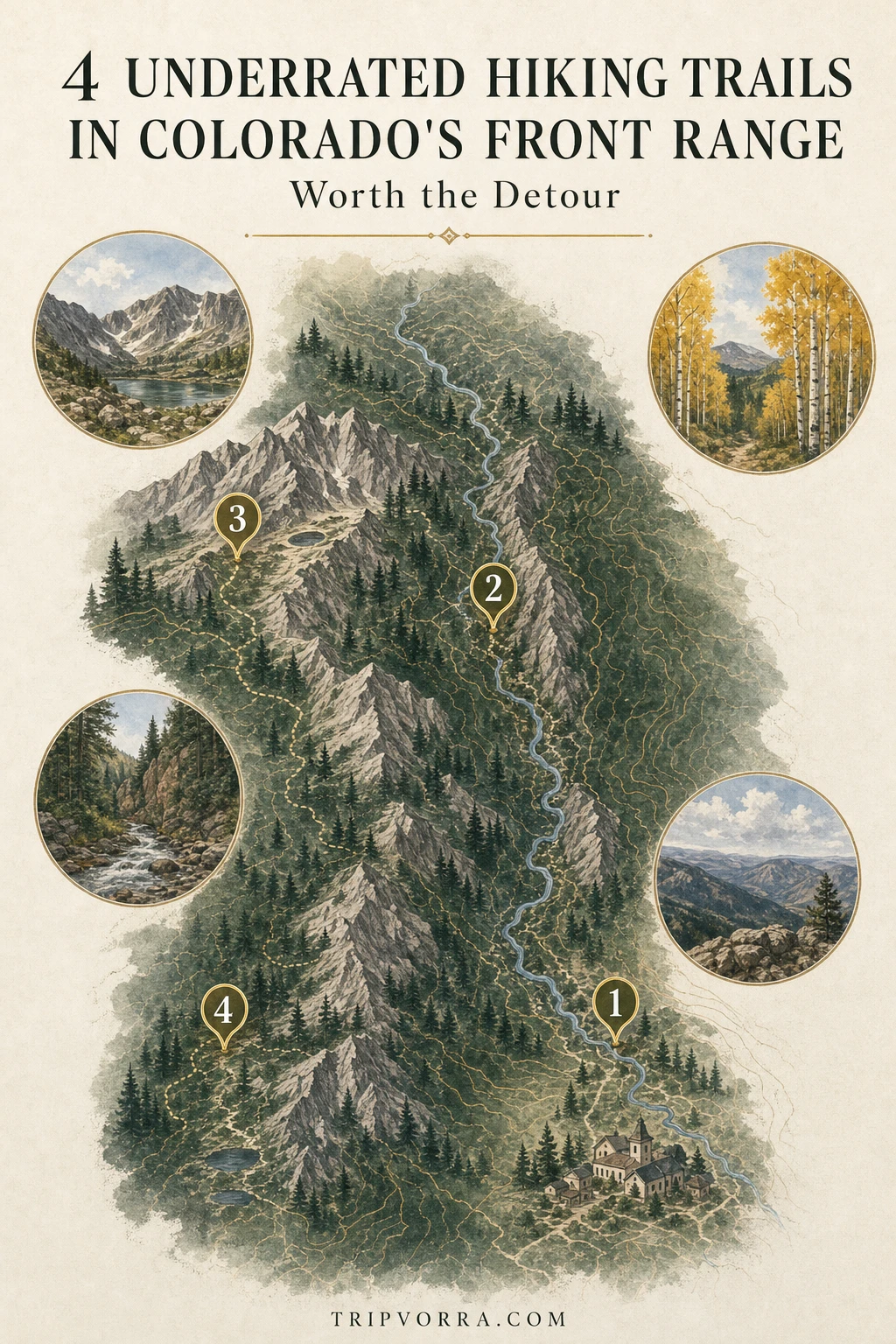
Map key: 1) Mount Galbraith Park • 2) Beaver Brook Trail • 3) Hells Hole • 4) Ben Tyler Trail
1. Mount Galbraith Park
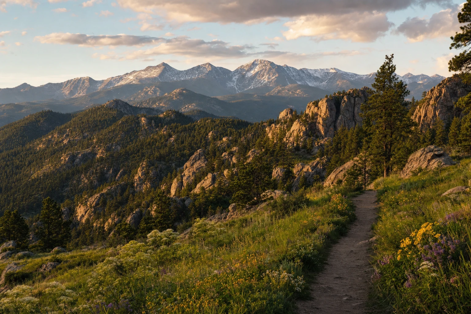
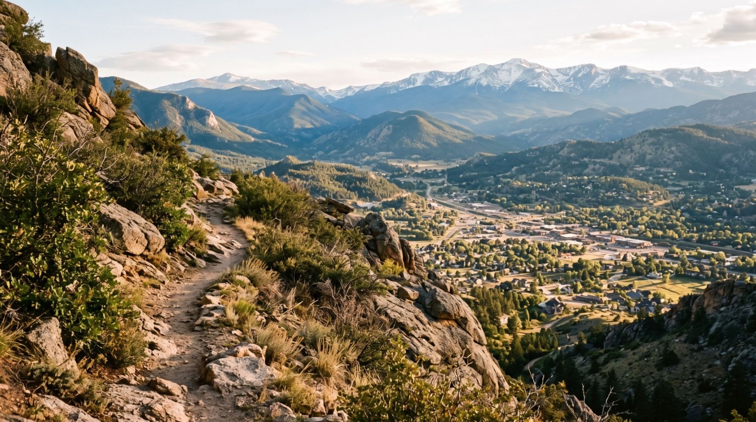
Mount Galbraith Park sits directly above Golden, a hiker-only Jefferson County Open Space property built around a 7,260-foot peak with commanding views of Golden, the plains, and the Continental Divide. The main loop covers about 4–5 miles of steep, rocky trail, and because bikes and horses aren’t allowed, it stays quieter than the multi-use trails on the other side of town — a small parking lot at the trailhead does most of the crowd control on its own.
Getting There and Practical Info
- Getting there: the trailhead sits on Golden Gate Canyon Road, about a 25-minute drive from downtown Denver; no transit access.
- Distance and elevation: roughly 4–5 miles of trail total, with the signature Mt. Galbraith Loop covering 1.6 miles around the peak.
- Difficulty: moderate, with steep, rocky sections near the summit.
- Cost: free, no permit required.
- Time to allow: 2–3 hours for the full loop with time at the overlooks.
Who Should Go
This is the easiest on-ramp on this list — close to the city, no permit, and a real summit payoff for a half-day effort. It’s a good choice if you want genuine elevation gain and a hiker-only trail without committing to a full day, though the small trailhead lot fills early on weekends.
2. Beaver Brook Trail
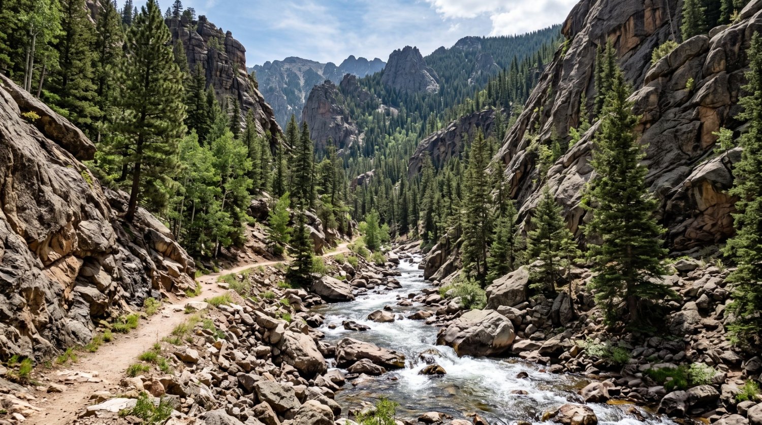
Beaver Brook is one of the oldest trails to come out of Denver’s mountain-parks era. Voters approved the Denver Mountain Parks system in 1912, and the city hired landscape architect Frederick Law Olmsted Jr. to design a network meant to capture “the essence of the Rockies for tourists and locals alike” across roughly 14,000 acres. Beaver Brook was part of that original network, and today it still links three separate mountain parks — Clear Creek Canyon Park, Genesee Mountain Park, and Windy Saddle Park — along a route that runs up to 20 miles point to point if you hike the whole thing, though most visitors do a shorter out-and-back from either end.
Getting There and Practical Info
- Getting there: trailheads are reachable from either Windy Saddle Park (Golden) or Genesee Park off I-70, both about 30–35 minutes from downtown Denver.
- Distance and elevation: up to 20 miles point-to-point with roughly 1,900 feet of gain if hiked in full; most visitors choose a shorter section.
- Difficulty: difficult over its full length; individual out-and-back sections can be moderate.
- Cost: free, no permit required.
- Time to allow: a half day for a shorter out-and-back section; a full day if attempting a longer stretch.
Is It Worth the Trip?
Yes, especially if you want a hike with some actual history attached — this trail predates most of what’s popular around Denver today by over a century. Because it connects three separate trailheads, it’s flexible: a short canyon walk from one end, or a genuine full-day trek if you commit to the whole route.
3. Hells Hole
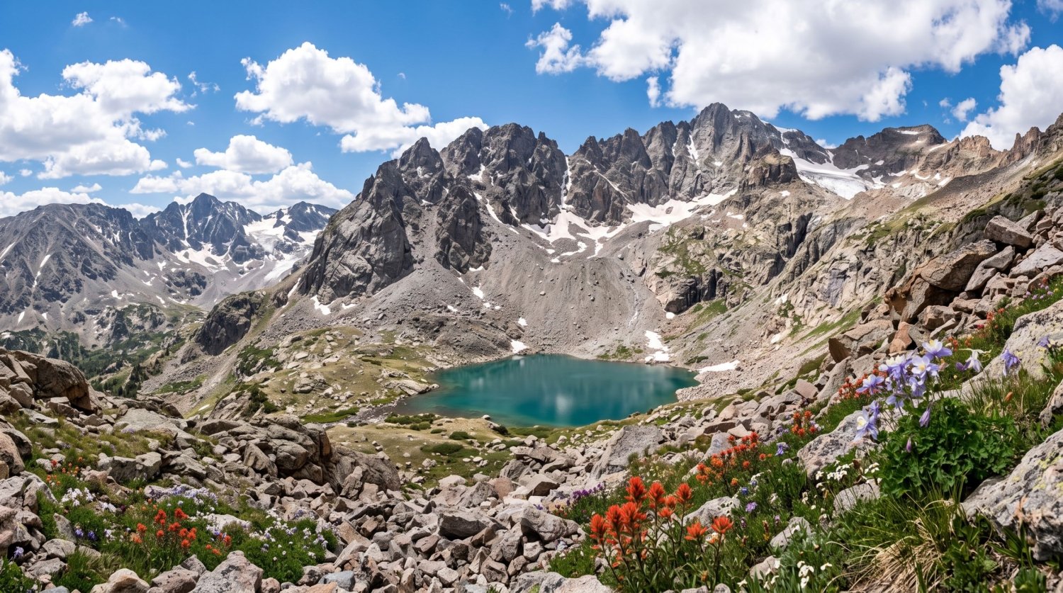
Hells Hole climbs out of Idaho Springs into the Mount Evans Wilderness, a 74,401-acre wilderness area established in 1980, ending at a rocky alpine cirque well above treeline. It’s steep and remote enough that it stays far less crowded than the Mount Evans Scenic Byway a few miles away, despite a similar alpine payoff — a glacially carved bowl ringed by talus slopes, with wildflowers filling the lower meadows in July.
Getting There and Practical Info
- Getting there: the trailhead is off Route 103 above Idaho Springs, about a 45-minute drive from Denver.
- Distance and elevation: roughly 7.9 miles round trip with about 1,912 feet of elevation gain.
- Difficulty: moderate to difficult, with sustained climbing above treeline.
- Cost: free, no permit required, though it sits inside a designated wilderness area with standard wilderness-travel rules (no bikes, no motorized equipment).
- Time to allow: 4–6 hours round trip.
Because the trail spends real time above treeline with no tree cover, afternoon thunderstorms and sudden temperature drops are a genuine planning factor, not just a formality — the exposed final stretch to the cirque is exactly the kind of terrain where a lightweight rain shell and a set of trekking poles for the loose talus earn their weight.


Worth Knowing Before You Go
This is the most physically demanding hike on this list and the one most affected by weather — start early, watch the sky, and be willing to turn around below the cirque if storms build. It rewards hikers who specifically want an alpine-lake payoff without the mandatory shuttle and parking system now required at more famous alpine hikes nearby.
4. Ben Tyler Trail
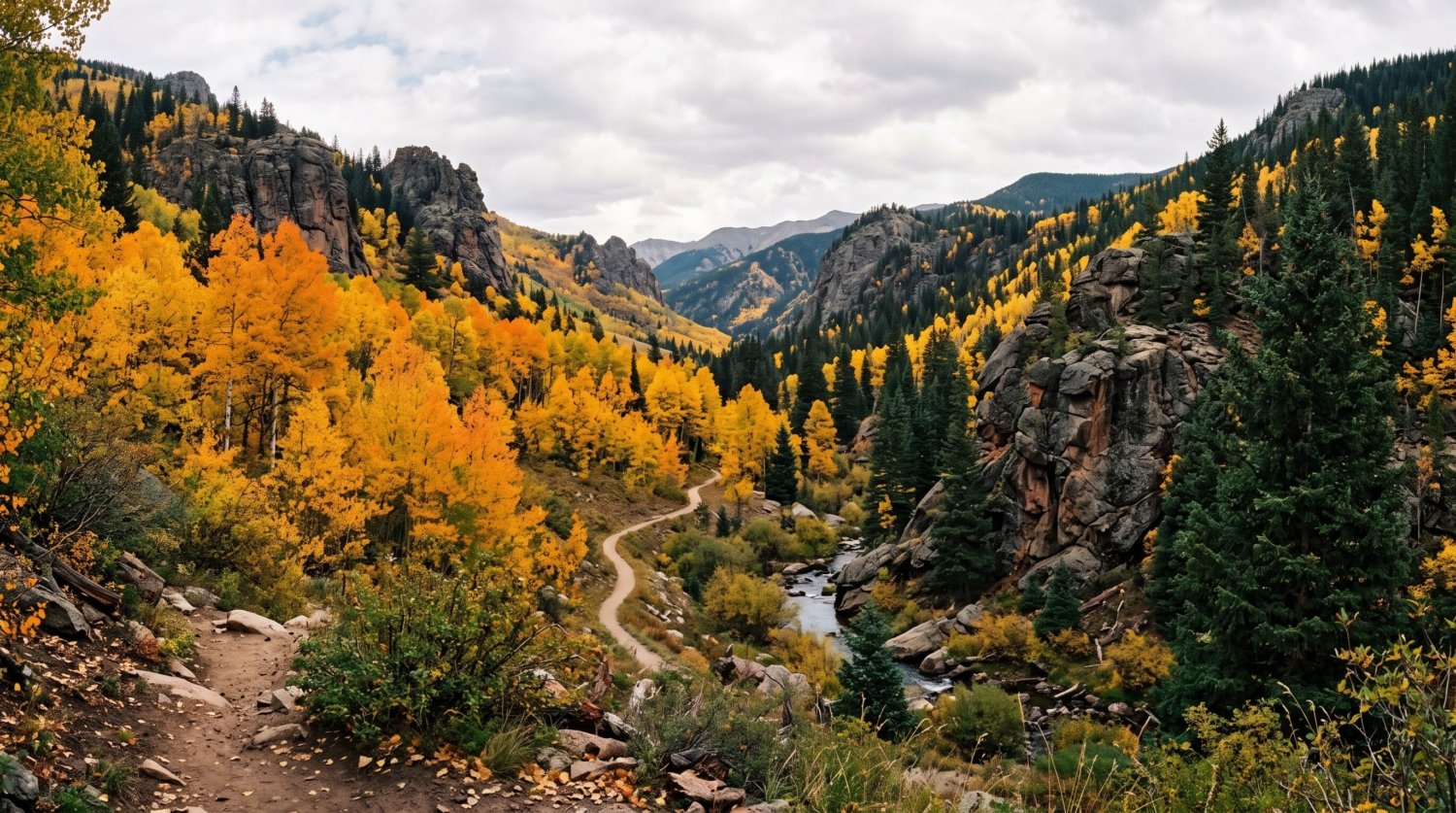
Ben Tyler Trail runs 11.4 miles through the Lost Creek Wilderness in Pike National Forest, almost entirely within designated wilderness except for about a mile at each end. The trail’s defining feature is a run of large aspen groves in Ben Tyler Gulch, the result of a 3,000-acre fire in 1903 that cleared the way for the aspens now growing there — they put on some of the Front Range’s best fall color each September, and the trail also passes the remains of an old lumber camp near its far end.
Getting There and Practical Info
- Getting there: the trailhead is off US-285 near Grant, about a 1.5-hour drive southwest of Denver; no transit access.
- Distance and elevation: 11.4 miles one way, with roughly 1,290 feet of elevation gain and a high point around 11,650 feet.
- Difficulty: difficult, rated “more to most difficult” by the Forest Service.
- Cost: free, no permit required.
- Time to allow: a full day for an out-and-back into the aspen groves; a shuttle is needed to hike the trail end to end.
Who Should Skip It?
Anyone looking for a short afternoon hike should look elsewhere on this list — the payoff aspen groves sit deep enough into the gulch that a meaningful round trip takes most of a day. But for hikers specifically chasing fall color away from the traffic jams at more famous aspen spots, late September here is hard to beat.
One Place We Left Off
Hanging Lake is the obvious candidate for a “hidden gem” hiking list near Denver, and it’s deliberately not on this one. It genuinely was a quiet detour off I-70 decades ago, but that description stopped being accurate years back — annual visits grew from about 99,000 in 2014 to roughly 150,000 by 2016, with single-day counts reaching 1,200 hikers, prompting the U.S. Forest Service to introduce a mandatory reservation system capping visits at 615 hikers a day to protect the lake’s fragile travertine formations. A trail that now requires a permit and a timed shuttle just to protect itself from crowds isn’t a hidden gem anymore, however photogenic it still is.
Frequently Asked Questions
Do I need a permit for any of these four hikes?
No. Unlike Hanging Lake or the Mount Evans Scenic Byway, none of these four trails currently require a permit, reservation, or timed-entry system.
Do I need a car to reach these trailheads?
Yes, for all four. None of these trailheads are served by public transit, so a car (your own, rented, or rideshare for the closer ones) is necessary.
Which of these is the best fit for a first high-altitude hike?
Mount Galbraith is the gentlest introduction — close to Denver, well-marked, and shorter than the other three. Hells Hole is the one to build up to once you’re acclimated, since it spends real time above treeline.
What’s the best time of year to visit?
Late June through September covers all four comfortably. Ben Tyler Trail is specifically worth timing for mid-to-late September, when its aspen groves turn; Hells Hole is best in July and August once snow has cleared from the cirque.
Between a hiker-only summit above Golden, a century-old trail linking three historic parks, an alpine cirque that skips the shuttle system, and an aspen-lined wilderness trail with its own 1903 fire history, these four trails make the case that the Front Range’s best hiking was never only about Rocky Mountain National Park. If you’re planning a broader outdoor-focused trip, our guides to hidden natural wonders near San Diego and hidden natural wonders in Switzerland cover the same instinct — skipping the shuttle line for something just as scenic — in two very different mountain ranges.