
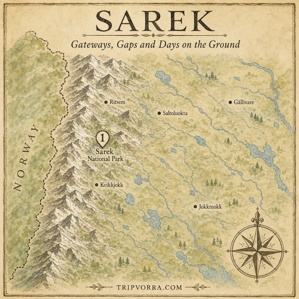
Sarek is the part of Sweden where the usual hiking safety net is missing. There are no marked trails, no mountain huts and no mobile coverage, and the rivers decide the schedule more than the hiker does. “Without a guide” is legal as far as the official pages checked here show, since none of them mention a guide requirement, but that is not the same as sensible for everyone. This is a reality check on how long a Sarek trek really takes, what has to be settled before you leave and where plans tend to break.
Last verified: October 2026. How this guide was built: it draws on the official Sweden’s National Parks pages, the Swedish Tourist Association’s route description, the Jokkmokk municipality’s park page, Wikipedia, police incident notices from 2026, and two hikers’ trip reports from 2006 and 2015. Where sources disagree or only one hiker reports something, the text says so. This is planning information, not a substitute for current local advice, and conditions change every season.
Sarek at a glance
- What it is: a national park in Norrbotten, northern Sweden, established in 1909 and part of the Laponia World Heritage Site. Wikipedia gives its area as roughly 1,970 km², and its own text also says 1,977 km², without reconciling the two.
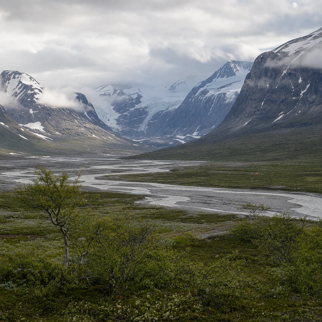
- Terrain: high mountains, deep valleys and fast rivers. The park has six of Sweden’s highest mountains and nearly 100 glaciers, according to Sweden’s National Parks.
- What is missing: no roads into the park, no marked trails, no mountain huts and no mobile coverage, according to the Jokkmokk municipality and the Swedish Tourist Association.
- Best season: July is peak hiking season but brings mosquitoes, and August is often the best month, with fewer of them.
- Honest verdict: a trip for experienced, self-sufficient hikers who can navigate by map and compass, with spare days built in.
What “without a guide” actually means
The sources checked do not say a guide is mandatory. They do say a great deal about experience. The Jokkmokk municipality states that Sarek is not for inexperienced hikers and poses a significant challenge even to experienced ones. The Swedish Tourist Association says its Ritsem to Aktse route “requires experience” and calls the area challenging and weather-exposed. Wikipedia goes further, advising beginners to accompany a guide and saying inexperienced hikers should not cross the Rapa ford without one.
In practice, that means doing it alone is a skills question. You need to navigate with a map and compass where no path is marked, wade fast cold rivers, camp in a tent every night, and carry every meal, since the Swedish Tourist Association notes shops exist only at Ritsem and Aktse. Other trip reports mention huts and cabins, some of them locked, so buildings do exist in and around the area, but the park pages describe no mountain huts and the Tourist Association tells hikers to plan on camping.
How long it really takes
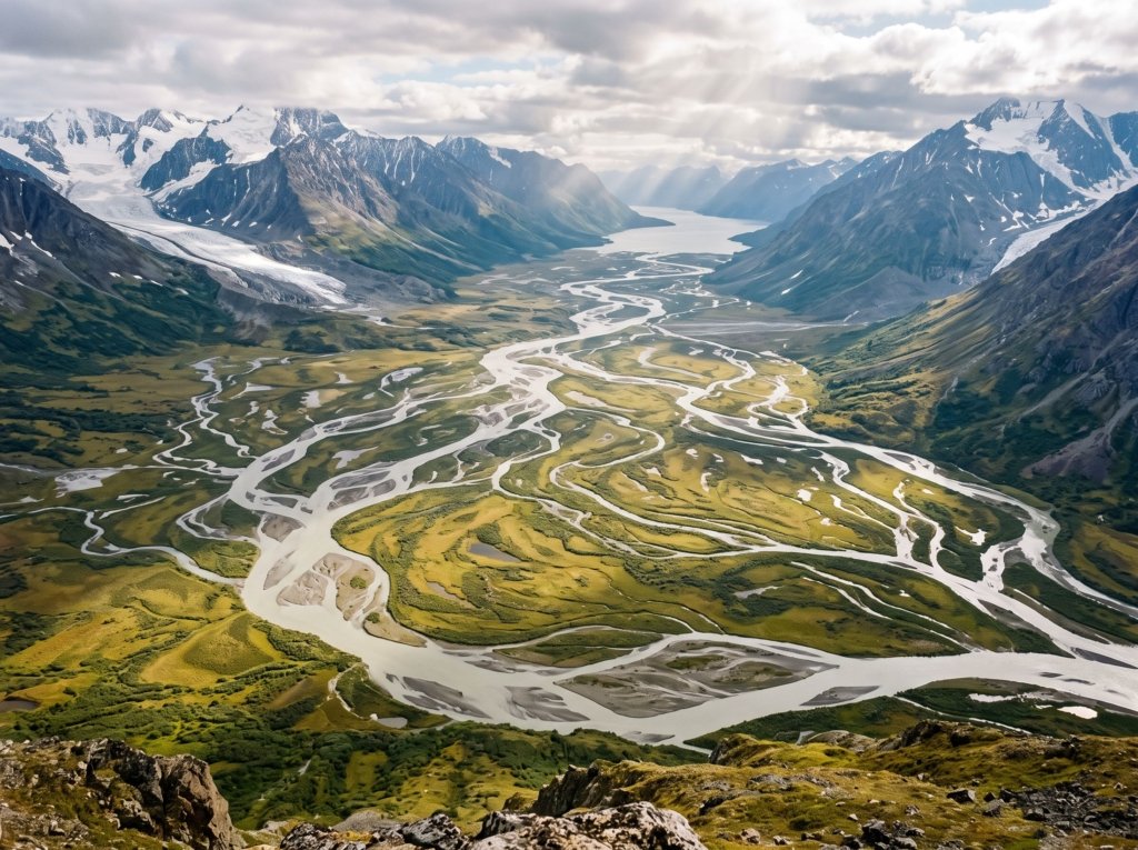
On paper, the Swedish Tourist Association describes Ritsem to Aktse as about 109 km in seven stages of 9 to 22 km, or 2 to 8 hours of walking a day. That is the tidy version. Two trip reports show how the real thing differs, though each is one party’s experience and not a statistic.
- Kvikkjokk loop, August 2015: a hiker planned 7 to 10 days and took 9, changing the route because of high water after a late snowmelt. They report being unable to cross the Rahpaadno river because the current was too strong. Their daily walking times ranged from about 2 hours 25 minutes to 6 hours 30 minutes, and off-trail sections were slow with dense bushes and wet ground.
- Ritsem loop, July to August 2006: a group left Ritsem on 21 July and returned by boat on 3 August, about 13 days, with one deliberate rest day. The weather was sunny throughout, so their planned spare days went unused, yet the trip still took nearly two weeks.
No source checked gives a standard off-trail kilometres-per-day figure, so none is offered here. As a practical suggestion, not a fact, treat the seven-day paper schedule as a best case and add spare days for rivers and weather before you commit to flights, boats or return transport.
The rivers set the schedule
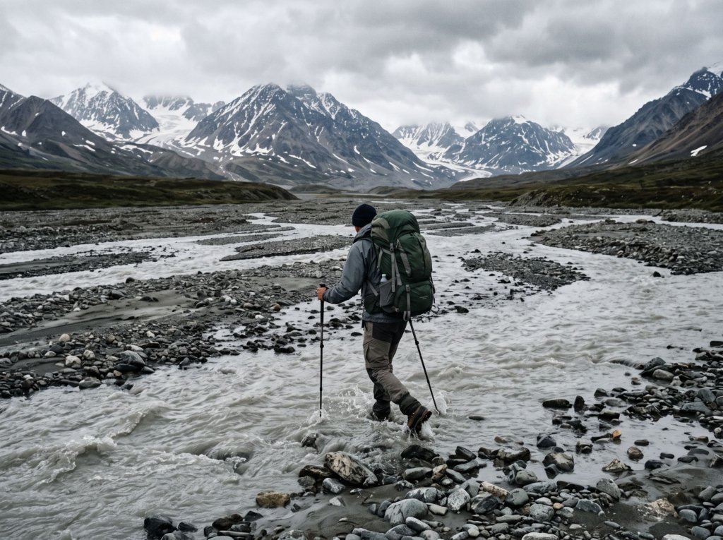
Wikipedia says there are only two bridges in the park apart from those near the borders, which means most crossings are wading. Sweden’s National Parks warns that late snowmelt can make it hard to ford fast streams, and the Jokkmokk municipality says rising water can make crossings unsafe or impossible. One answer on a community hiking forum adds that warm weather melts glaciers and raises the water, so mornings can be easier, though that is one hiker’s advice. The 2006 report describes one crossing with water just below knee depth at its deepest, while the 2015 hiker could not cross the Rahpaadno at all, which shows how widely conditions vary by year and week.
Season and mosquitoes
Sweden’s National Parks describes late June as a time when snow has melted at lower elevations but remains higher up. July is peak hiking season and mosquitoes are present. August is often best, with fewer mosquitoes and the first yellow leaves. Autumn can bring fine weather but cold nights, plus hunting and reindeer work, and May is calving season when reindeer must not be disturbed. Both trip reports describe mosquitoes as a constant nuisance, particularly at lower altitudes and in forested areas.
Getting to the trailhead
- South, via Kvikkjokk: buses run between Jokkmokk and Kvikkjokk, which is about 120 km by car. Aktse is described as the fastest entry point, reached on the Kungsleden from Kvikkjokk.
- North, via Ritsem: take the train to Gällivare and then a bus. A tour boat crosses Lake Áhkkájávrre, and the hike from there to the park takes half a day to a full day.
- East, via Saltoluokta or Suorvvá: a bus from Jokkmokk runs along the Western Road. From Suorvvá, the park pages say you can cross the dam and reach the Sarek massifs within a day.
- Helicopter: scheduled helicopter routes serve Stáloluokta in neighbouring Padjelanta, and helicopter taxis operate year-round but land outside the national parks.
No timetables or fares are given on the official pages, so check boat and bus schedules directly. In 2015, one hiker reported a motorboat across Lake Lajtaure for 200 SEK per person, with free rowing boats as an alternative, but those details may have changed.
If something goes wrong
With no mobile coverage, a plan for emergencies has to be settled before you leave. Mountain rescue does operate in Sarek: Swedish police logged a call-out west of Saltoluokta on 11 July 2026 for a man with an injured leg, and another on 11 September 2026 for a hiker who stepped wrong and hurt himself, with rescuers flown in and the injured man taken out by helicopter in both cases. Those notices say nothing about how long help took, so they should not be read as a response-time guarantee. Experienced hikers on a community forum recommend carrying a satellite messenger or personal locator beacon, and say the nearest help can be days away on foot, but that is community advice, not an official figure.
A realistic planning timeline
- Months ahead: decide whether you have the skills, since a marked trail such as the Kungsleden is the stepping stone experienced hikers on a forum recommend. Choose a route and pick the season. Buy a detailed map; one hiker used a 1:100,000 map of Sarek and Padjelanta.
- Weeks ahead: sort out transport to the trailhead, food for the whole trip, and a satellite messenger. Build in spare days.
- Days before: check the water situation and weather, and tell someone your route and return date.
- On the ground: expect the first few days to be slow with a heavy pack, treat river crossings as decisions, and be ready to change the route.
The honest downsides
- There are no marked trails, official mountain huts or phone signal, and shops only at the edges, so every problem is yours to solve until help arrives.
- Schedules slip. A trip that looks like a week on paper took 9 and about 13 days in the two reports cited here.
- High water can close your route, and the safe choice may be turning back.
- Mosquitoes are heavy in July at lower elevations, and weather can change quickly.
- Much of the practical detail here comes from individual trip reports and may be out of date.
Frequently asked questions
Do you need a guide to hike Sarek?
None of the official pages checked say you must have one, but they stress experience, and Wikipedia advises beginners to go with a guide. The deciding factor is whether you can navigate off-trail, wade rivers and camp unsupported.
How many days do you need for Sarek?
The Swedish Tourist Association describes Ritsem to Aktse as seven stages, while two trip reports took 9 and about 13 days. Plan for more than the paper schedule.
Is there phone coverage in Sarek?
No. The Jokkmokk municipality states that there is no mobile coverage, so carry another way to call for help.
When is the best time to hike Sarek?
July is peak season but has mosquitoes, and August is often best. Late snowmelt can make fording harder, so conditions vary by year.
For other trips that reward careful planning, see our guide to hidden gems in Europe.