
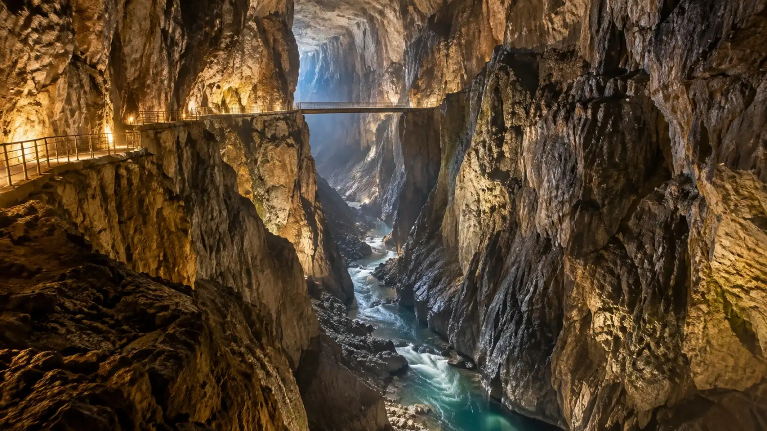
The Reka River flows for about 55 kilometers across the surface of southwestern Slovenia, according to the Slovenian tourism board. Then it reaches a limestone wall and vanishes. It sinks into a chasm called Velika Dolina, and nothing above ground tells you where it goes. Below the village of Škocjan, it carves a passage large enough that a 47-meter bridge hangs inside it with room to spare.
That is the story. It is also where a popular claim needs a careful look.
Last verified: October 2026. Prices, tour times and route details come from the park’s own pages and can change. Confirm them before you book.
How this guide was built: This is desk research from UNESCO documents, the Škocjan Caves Park’s official pages, Slovenia’s national tourism site, and a few secondary sources, all linked where they are used. Nobody at Tripvorra has toured the caves for this piece, so there are no first-hand impressions here. Where sources disagree, we say so.
Image disclosure: the images in this article are AI-generated illustrations, not photographs, and they are not a record of an actual visit.
Is it really Europe’s largest underground canyon?
The claim you will often see online, that this is Europe’s largest underground canyon, is one we could not verify. Here is what the sources actually say.
UNESCO, which inscribed the caves in 1986, says the system includes “one of the world’s largest known underground river canyons.” That wording appears in UNESCO’s documentation for the site, and the UNESCO listing describes “one of the largest known underground chambers.” The wording says “one of,” it says “known,” and it says “river canyons.” It does not say “largest in Europe.”
The park’s own site profile gives the canyon’s dimensions without a ranking. Its one European superlative goes to the Martel Chamber, which it calls “one of the largest underground chambers in Europe.” A regional tourism page, Visit Kras, calls the canyon “one of the largest underground canyons in Europe.” Wikipedia makes a stronger claim for the chamber, “the largest discovered underground chamber in Europe,” and cites no source inline.
The measurements also vary by source:
- Length: UNESCO says “roughly two-kilometre.” The park says 2,600 meters. Slovenia’s tourism board and Wikipedia say about 3.5 kilometers, probably because they measure the full Hanke’s Channel route.
- Height: UNESCO says up to about 150 meters. The park says up to 146. Wikipedia says over 140. Slovenia’s tourism board says over 100.
A “largest” ranking depends on how you define a canyon, and we found no published ranking that settles it. So the defensible statement is the one UNESCO uses. This is one of the world’s largest known underground river canyons, and the largest in Slovenia by any measure.
The “almost nobody talks about it” idea needs the same care. The caves have been on the UNESCO list for forty years. The park’s profile gives around 90,000 visitors a year, a figure dated to 2006, and Wikipedia says around 100,000 “in recent years” without a date. That is a well-established destination. It is just far less crowded than the Alpine lakes a few hours north. For a contrast in visitor pressure, see our piece on Hallstatt, Austria.
What the Reka River actually does
The geology explains why this place matters to scientists. UNESCO describes the Škocjan system as “an outstanding textbook example of contact Karst,” formed in a thick layer of Cretaceous limestone, in its site documentation. The river arrives from non-carbonate rock, meets the limestone, and goes underground. That is what “contact karst” means in practice.
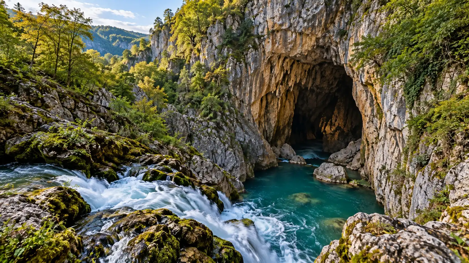
Karst terminology has roots here. UNESCO notes that terms such as “karst” and “doline” link back to this part of the world. The region sits on the Karst plateau, a dry limestone upland that gave its name to the landform category. The valley wall that ends in a blind drop is a textbook blind valley, which the park calls the largest in Slovenia, up to 100 meters deep.
Underground, the sizes get larger and harder to picture. The park’s site profile gives these numbers:
- The explored cave passages total 6,200 meters. The park lists “old passages” of about 12,000 meters separately, so the two figures should not be added together.
- The cave’s lowest point is 212 meters above sea level, at Dead Lake, and the total depth from the surface is 223 meters.
- The Martel Chamber is about 300 meters long, up to 120 meters wide and 146 meters high, with a volume of 2.2 million cubic meters. Slovenia’s tourism board gives 308 by 123 by 146 meters.
- The river’s flow ranges from about 0.03 cubic meters per second at minimum to over 380 at maximum. The average is around 9.
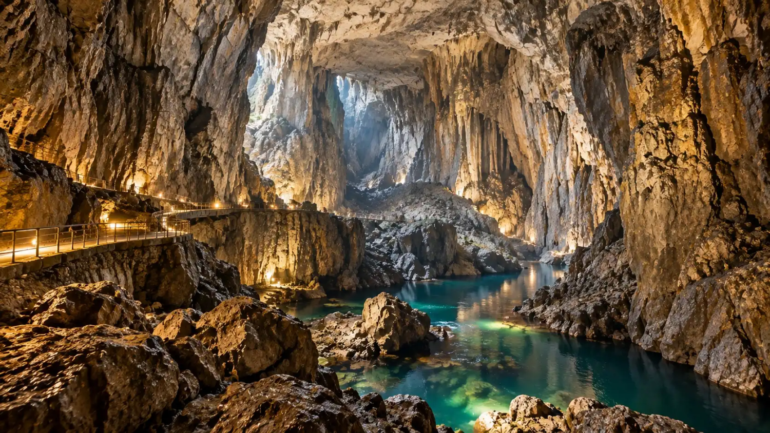
That last range matters for visitors. After heavy rain, the river can fill the passages dramatically. Slovenia’s tourism board says floodwaters in the caves can sometimes rise above 100 meters. This is why some routes can close on short notice.
Where does the river go? Wikipedia says it flows underground for about 34 kilometers and resurfaces near Monfalcone, Italy, supplying roughly a third of the Timavo spring’s flow before that runs about 2 kilometers to the Adriatic. Slovenia’s tourism board also gives about 34 kilometers. Another site, Showcaves, says “more than 40.” Treat the figure as roughly 34 to 40 kilometers, with most sources at the lower end. Note that this is the river’s course, not explored cave length. Most of it is not open to anyone.
The people who found their way in
The caves had a long history before anyone could visit safely. The park’s history page lists written references from antiquity. In 1689 Janez Vajkard Valvasor described the river’s underground flow in his book on Carniola, and UNESCO notes his 1689 depiction of the collapse dolines.
Systematic exploration started in the 1800s. In 1819 steps down into Velika Dolina were ordered or renovated, and a visitors’ book began on January 1 of that year. In 1884 a speleology division of a German and Austrian mountaineering society in Trieste leased the caves. Its core group, sometimes called the “cave triumvirate,” was Anton Hanke, Jožef Marinitsch and Friedrich Müller. Hanke drew the first map in 1888. The channel he pushed through still carries his name.
On October 5, 1890, the explorers reached the banks of Dead Lake and found the Martel Chamber, named for the French speleologist. The Silent Cave was found in 1904, when local men climbed a 60-meter wall in Müller Hall. Divers have pushed further in recent decades. The park’s history page dates one siphon dive to 1990 and another to September 15, 1991, so check which siphon any source means before quoting a year.
What a visit looks like
Two things shape the whole visit: the temperature and the stairs.
The caves hold at about 12°C in dry areas, with humidity of 80 to 100 percent, according to the park’s site profile, and the park advises warm clothing even in summer. According to the park’s tour page, the main guided tour is listed at roughly 2.5 to 3 hours, covers about 5 kilometers and involves roughly 1,000 steps. The park’s visit-preparation page describes the guided portion as about 90 to 120 minutes and the complete visit, including the self-guided Mahorčič and Marinič caves, as 2.5 to 3 hours. The park’s pages do not fully agree, so plan for the longer figure and check your ticket. The main tour passes through the Silent Cave and the canyon of the Murmuring Cave, past the two collapse dolines and a natural bridge. In Slovenia’s tourism board’s account, wooden bridges and galleries are built into the canyon walls.
In the months from January to April and from October to December, the main tour ends at Exit 1, the Big Collapse Doline. That route is shorter, about 3 kilometers and 500 to 800 steps. Check which version runs on your date, because the full route that includes the canyon’s far end is not offered year-round.
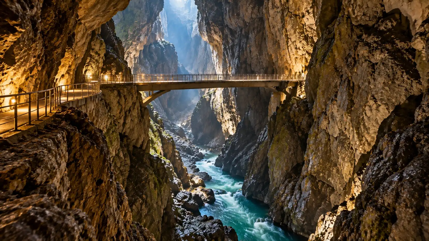
The Cerkvenik Bridge is the moment people remember. It hangs 47 meters above the Reka, and the park says it was reconstructed in 2003. The river is loud under it.
Photography is not allowed inside the cave, according to the park’s tour page. Older third-party pages, such as Showcaves, say otherwise, so follow the official rule.
Tickets. The park’s tour page lists adult prices for the main tour by season: €16 from November through March, €18 in April and October, €22 in May, June and September, and €24 in July and August. Reduced rates apply to seniors, students under 26 and children. Visit Kras lists slightly different amounts, so confirm the current price on the park’s site before you book.
Buy tickets in advance. The park’s visit-preparation page says tours can sell out on certain days and times, especially in summer, and asks you to be at the information desk at least 30 minutes before your tour. The caves close on January 1 and December 25, per the tour page.
The caver’s version. The park also runs a separate Hanke Channel tour along the underground river canyon to a viewpoint further along the canyon. According to the tour page, it lasts three to four hours, covers about 2 kilometers, includes around 400 stairs and costs €100 per person. The park’s 2026 list shows 9:00 departures a few weeks apart, with a limited number of places per date. Check the list for dates and remaining places. You must confirm at least 10 days ahead, children under 15 are not allowed, and it can be cancelled for high water even after confirmation. The park provides overalls, helmet and safety belt, and says loaner boots are available.
Above ground
Not everything here is underground. The Reka’s blind valley and the two collapse dolines are open to see, and the park’s tour page describes an Education Trail that circles the dolines and nearby villages. Its price table lists it as guided only, at €6 for adults, although another line describes it as guided or unguided. Ask when you book.
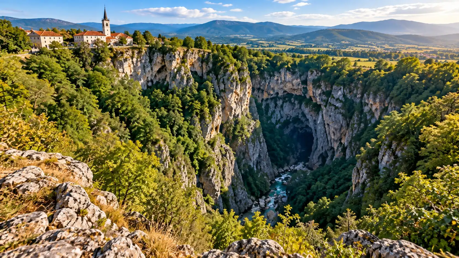
The surface matters to the story. Velika Dolina is 163 meters deep and Mala Dolina 120 meters, according to the park. They are what remain after ancient cave ceilings fell in. Seen from the rim, they show the same limestone the canyon is cut from, turned inside out.
Getting there
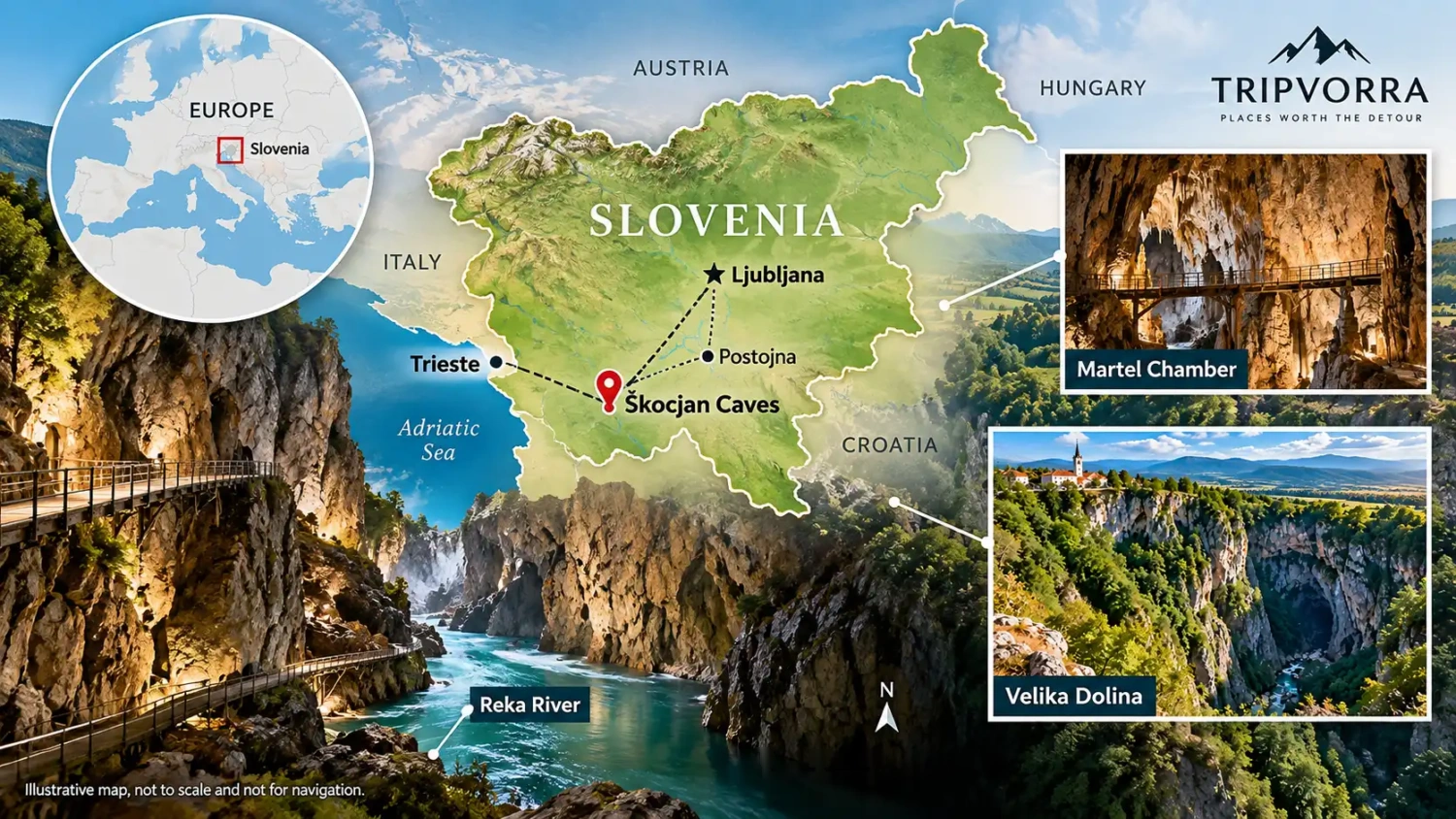
The main building for the tours is the park’s information center in Matavun. For drivers, the park’s directions are to take the Divača exit from the motorway, go about a kilometer on the regional road, then turn toward Škocjan and follow signs for Matavun. The page does not give parking details or drive times from Ljubljana or Trieste, so check those before you set out.
By train, you get off at Divača. The same page says the walk to the information center is around 4 kilometers, well marked, and takes about 50 minutes. There is also an on-demand shuttle service called ToyotaGO, booked by smartphone app only. It runs Monday to Friday, 6:00 to 20:00, within Divača and a few neighboring municipalities, with a minimum 90-minute advance booking. Its fares and conditions are on that park page.
The honest limitations
This is a good place, but it has real constraints.
- It is not step-free. The tour has roughly 1,000 steps on the full route, and both Visit Kras and Showcaves say the caves are not accessible for visitors with disabilities.
- It is cold and damp. At 12°C with high humidity, a summer outfit is the wrong one.
- You cannot photograph the inside. If you want pictures, plan on the surface.
- Tours are scheduled and finite. You cannot wander in on your own. Summer departures can sell out.
- Water decides things. Heavy rain can change what is open, and the Hanke tour can be cancelled for high water even after confirmation.
- The site has pressures of its own. UNESCO’s documentation notes that water quality has varied because of industrial, sewage and agricultural pollution, that walkways, bridges and lighting have affected parts of the cave system, and that tourism needs careful planning and monitoring. It also says there is limited cooperation between site managers and the tourism industry. The same tension between access and fragility shows up at Ushguli in Georgia.
Questions people ask
Is it worth a day trip?
For the main tour plus the surface features, the park’s own numbers suggest a half day: the guided tour is roughly 90 minutes to 3 hours depending on the route and which page you read, plus time to arrive at least 30 minutes early and see the surface features. Add travel time on top.
Not exactly. It is a long-established World Heritage site that gets fewer visitors than Slovenia’s Alpine lakes. For genuinely quieter Slovenian scenery, our list of hidden gems in Europe includes the Soča Valley.
What should I bring?
Warm layers, non-slip shoes, water, and an umbrella if it is raining, since part of the path is outdoors, as the park’s tour page advises.