
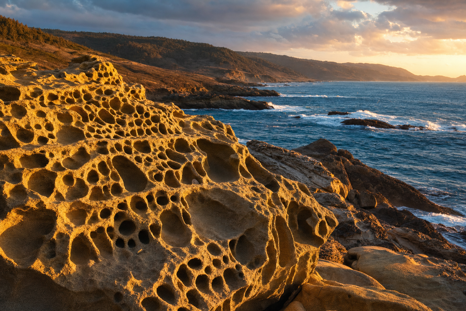
California’s “best of” lists cycle through the same dozen places every year — Big Sur, Lake Tahoe, Yosemite Valley, the Napa tasting rooms. What they skip is a Delta town built entirely by Chinese immigrant labor, a Sierra valley Disney once tried to turn into a ski resort, and a stretch of Sonoma coastline where the rock itself looks like it’s been eaten by termites. None of these needed a national park boundary to be worth the drive.
Last verified: August 31, 2026. Trail conditions, road closures, and seasonal access below change fast in the mountains and desert alike — check the linked agency pages directly before building a trip around a specific date.
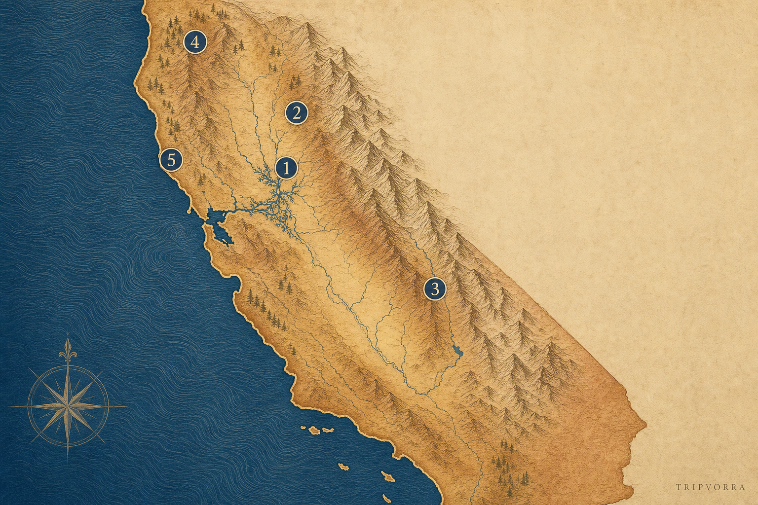
- Locke — a Sacramento Delta town built by and for Chinese immigrant laborers, still standing largely as it was a century ago.
- Downieville — a Gold Rush river town that quietly became a mountain-biking pilgrimage site, known well in one community and almost nowhere else.
- Mineral King Valley — a subalpine Sequoia National Park valley reachable only by a road built to keep people out.
- Canyon Creek Lakes — a Trinity Alps hike into granite-and-alpine-lake scenery with none of the Sierra’s permit systems.
- Salt Point State Park — a Sonoma coastline of wind-carved sandstone and a forest of hundred-year-old trees standing waist-high.
Locke: A Delta Town Immigration Law Built by Accident
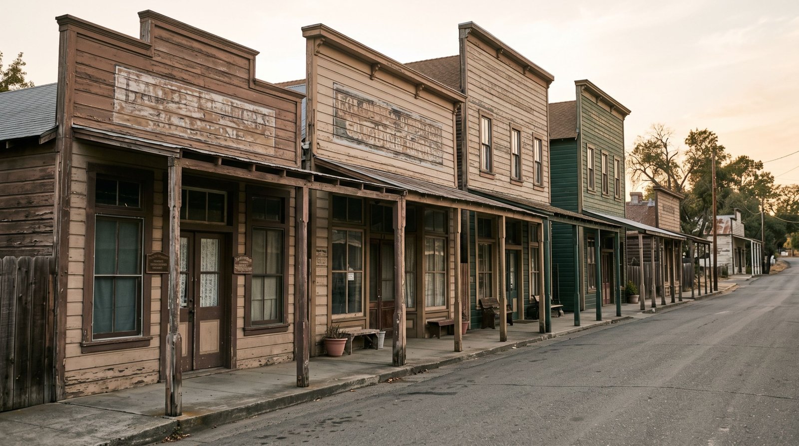
After a fire destroyed the nearby Walnut Grove Chinatown on October 7, 1915, Chinese immigrant farmworkers and merchants built a new town from scratch on leased land a mile up the road — and in doing so created what’s recognized today as the only rural town in the United States built by and for a Chinese immigrant community. At its harvest-season peak, Locke held close to a thousand residents; the false-front wooden buildings that housed them, gambling halls, and a boarding house are largely still standing, unlike almost every other Chinatown of that era that either burned, was demolished, or was absorbed into a larger city.
The town earned a spot on the National Register of Historic Places in 1971 and was elevated to a National Historic Landmark District in 1990 — real federal recognition, but Locke isn’t an NPS unit, has no visitor center staffed daily, and draws nowhere near the crowds its landmark status might suggest. Today fewer than 100 people live there year-round, only a handful with Chinese ancestry, and the town survives on volunteer preservation work more than tourism revenue.
It’s on River Road about 25 miles south of Sacramento near Walnut Grove — a car is the only practical way in, since there’s no meaningful transit access into the Delta’s back roads. The Boarding House Museum, a California State Parks-affiliated site, keeps posted hours worth checking before a visit. Spring and fall are the better windows; Delta summers run hot and the town has little shade.
Downieville: Famous to Mountain Bikers, Invisible to Everyone Else
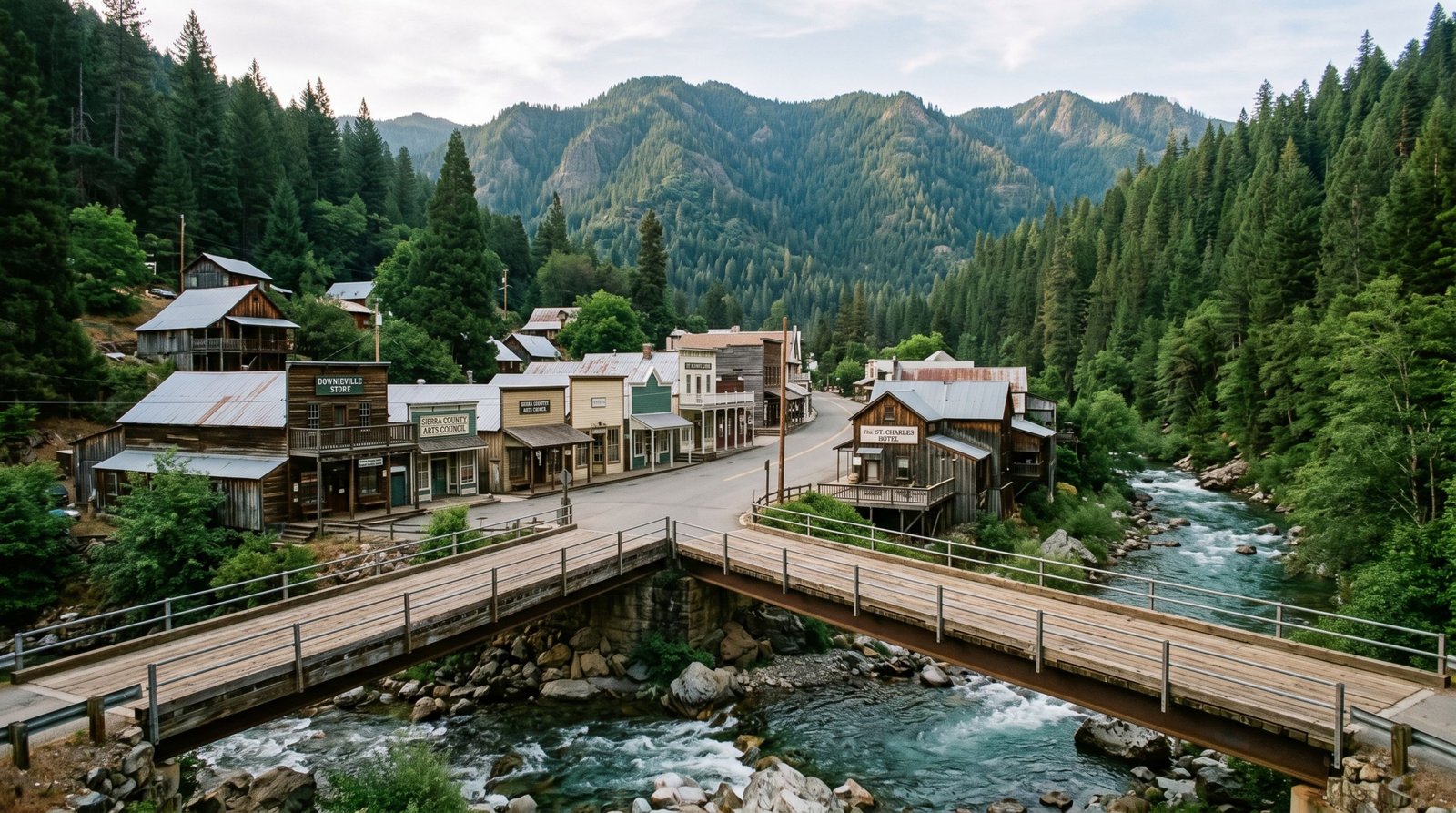
Downieville sits at the confluence of the North Yuba and Downie rivers, a former Gold Rush boomtown that never fully emptied out the way most did — it just changed what it was famous for. Inside the mountain-biking world, the “Downieville Downhill” descent and the annual Downieville Classic race are genuinely well-known, drawing riders from well outside California specifically for the terrain. That’s worth stating plainly rather than pretending otherwise: this isn’t a secret to anyone who mountain bikes seriously.
Outside that specific community, though, it barely registers — no viral social coverage, no mainstream “best of California” listicle placement beyond outdoor-recreation press, and a Main Street that still looks more like 1890 than a tourist strip. The honest framing here isn’t “hidden,” it’s “known intensely by one audience and almost unknown by every other one” — a genuinely different kind of underrated than a place nobody has heard of at all.
It sits on CA-49, about two hours northeast of Sacramento through Sierra County’s gold country; a car is required, and the last stretch is a two-lane mountain road with no cell service in places. Riders should expect a shuttle system (privately run, seasonal) for the downhill route rather than pedaling back uphill. Summer and early fall are the reliable window — snow closes higher trail sections in winter and early spring.
Two Trails Cut From the Same Rock: Mineral King and Canyon Creek Lakes
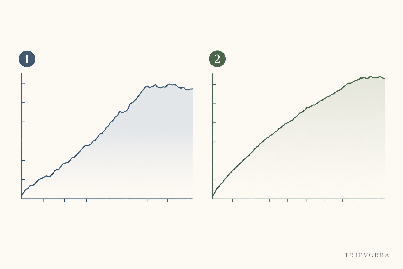
These two couldn’t be further apart on a map, but they were shaped the same way: glaciers carving subalpine basins into granite, leaving behind a hike-in valley on one end and a lake-ringed cirque on the other. The comparison below shows how differently you’ll spend your legs getting to each.
Mineral King Valley: The Valley Disney Wasn’t Allowed to Have
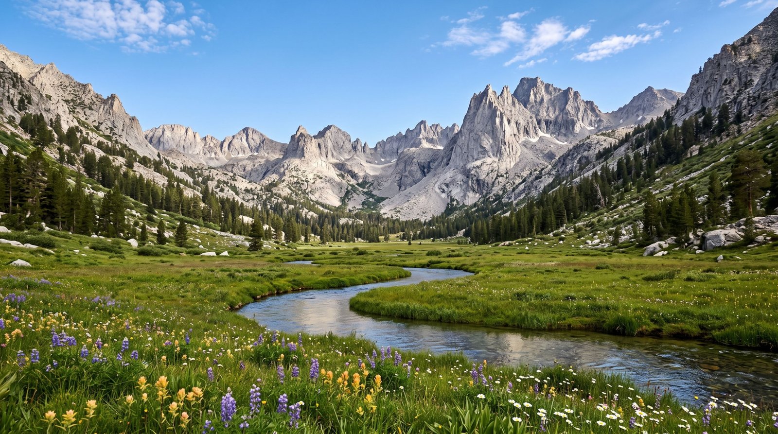
In the 1960s, Disney proposed turning this glacially carved subalpine valley into a full ski resort — chairlifts, a hotel, the works. A conservation fight that ran into the 1970s killed the project, and Mineral King was folded into Sequoia National Park in 1978 instead. It’s still geographically cut off from the rest of the park — no through-road connects it, only trails — and the access road that does exist is part of why it stays quiet: unpaved for long stretches, narrow, switchback-heavy, RV- and trailer-prohibited, with the nearest gas station roughly ninety minutes away.
There’s no permit lottery or reservation system for day use here, unlike Half Dome or the Mount Whitney zone — only a standard wilderness permit if you’re staying overnight in the backcountry. NPS’s own description of the valley leans into solitude rather than volume. One seasonal quirk worth knowing before you go: marmots in the parking areas are known to chew through radiator hoses and wiring in spring and early summer, and rangers recommend a tarp under the engine bay.
The turnoff is on CA-198 near Three Rivers, about two miles before the Ash Mountain entrance station, and the road is open only late May through October before snow closes it. There is no cost beyond the standard Sequoia National Park entrance fee.
Canyon Creek Lakes: High Sierra Scenery Without the Sierra’s Rules
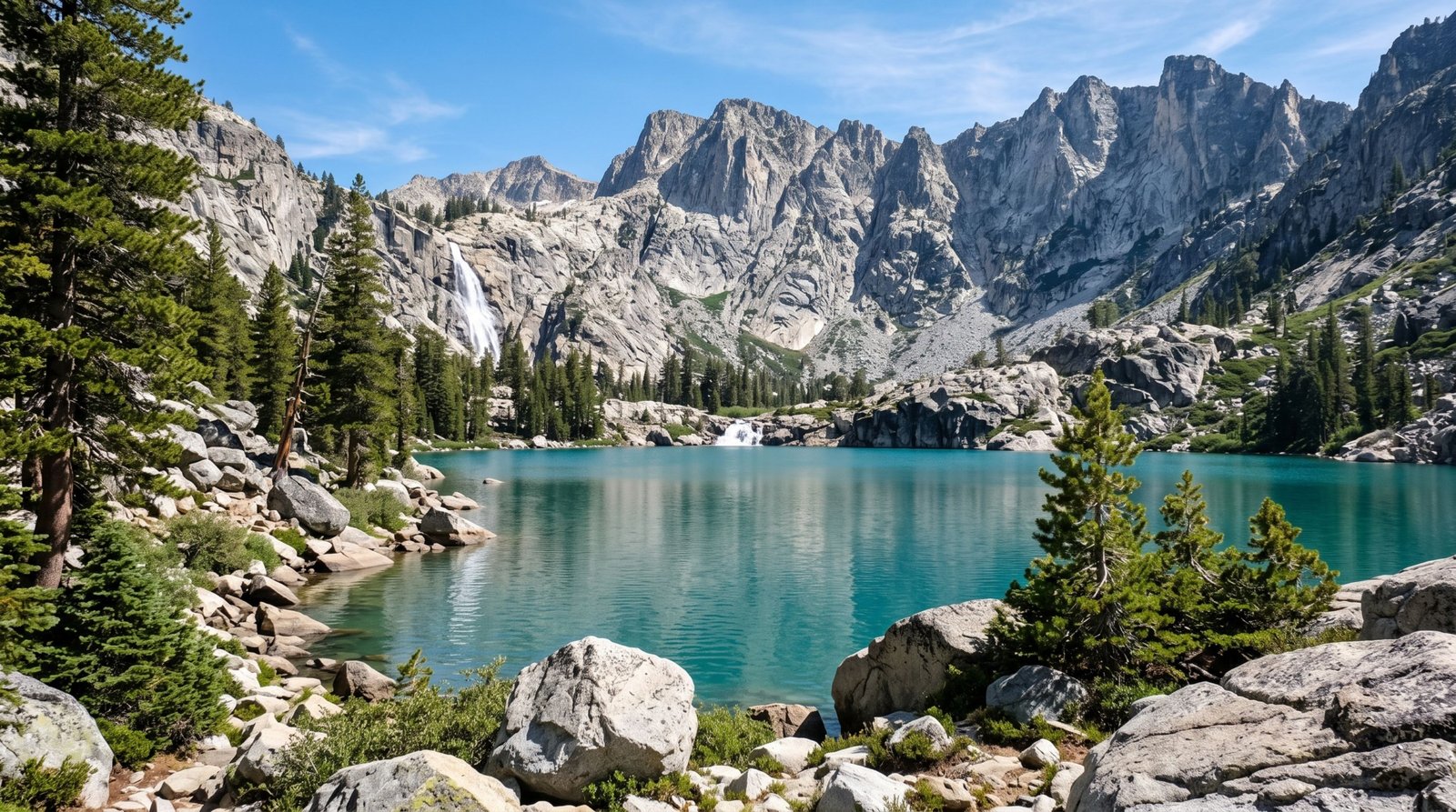
The Trinity Alps get compared to Yosemite’s high country often enough that the comparison has become a cliché among the people who actually go there — granite peaks, waterfalls, and glacially formed alpine lakes, reached by a trail that climbs steadily through Canyon Creek’s drainage to a basin ringed by granite walls. The round trip runs roughly 14.5 miles with about 2,600 feet of elevation gain, rated intermediate to moderate rather than technical.
What actually keeps it quiet relative to comparable Sierra trails is regulatory, not just geographic: there’s no permit-lottery or reservation quota system here, unlike Half Dome or many high-traffic Sierra trailheads — only a standard self-issue wilderness and campfire permit available at the Weaverville Ranger Station. Bear canisters are required near the lakes, campfires are prohibited at the lakes themselves, and group sizes are capped at ten.
The trailhead is near Junction City off CA-299, about 45 minutes west of Weaverville — a car is required, and there’s no realistic way in otherwise. July through September is the reliable window; snow lingers into early summer at elevation, and this is wildfire country, so checking current Shasta-Trinity National Forest closure status before driving out is worth the extra step, not an afterthought.
Salt Point State Park: A Coastline That Looks Half-Dissolved
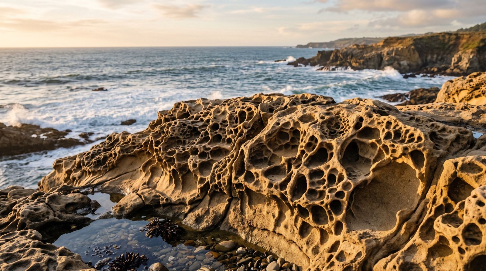
Six miles of Sonoma coastline here are shaped by “tafoni” — sandstone weathered by salt spray and wind into a honeycombed, almost dripping texture that looks more like a cave ceiling than an open bluff. A short walk inland, the terrain shifts entirely: a pygmy forest grows on acidic, hardpan soil so nutrient-poor that mature cypress and pine trees top out just a few feet tall, decades old but permanently stunted. Offshore, Gerstle Cove has been protected since 1968 as California’s first underwater park, safeguarding kelp beds and marine life from harvesting.
Sonoma County’s own tourism arm does promote Salt Point, so calling it a total secret would be overselling the case — but it sits north of the far more heavily trafficked Bodega Bay and Point Reyes stretches of the coast, without anything close to their name recognition, and there’s no documented overtourism or visitor cap here. More than 20 miles of trails cross the park’s tafoni bluffs, prairie, and forest.
It’s on Highway 1 about 90 miles north of San Francisco, near Jenner — car required, no transit access. Day use runs $10 per vehicle ($9 for seniors); camping is $35 a night at the Gerstle Cove or Woodside campgrounds. Spring and fall bring the mildest weather and best wildflowers; summer fog is routine, and exposed bluffs are worth treating with real caution around sneaker waves and unstable tafoni edges.
Two Places We Left Off, and Why
Bridgeport kept coming up in research as an appealing Eastern Sierra base — but its main draw for most visitors is proximity to Bodie, and California State Parks’ own site calls Bodie “the largest unrestored ghost town in the West”, a fixture of nearly every Eastern Sierra road-trip list that exists. Including Bridgeport without saying its neighbor is already famous would have misrepresented how undiscovered the area actually is.
Carrizo Plain National Monument is genuinely quiet for most of the year — no paved roads, minimal infrastructure, a BLM monument rather than a marketed park. But NASA’s own Earth Observatory has published features on it during superbloom years, and national news outlets cover it the same springs. The honest version is seasonal — overlooked ten months of the year, temporarily discovered every few springs when the wildflowers cooperate — which made it a harder fit for a list that’s supposed to hold up year-round.
Planning Around All Five
These five don’t sit anywhere near each other — Locke is in the Delta an hour from Sacramento, Downieville is two hours further into Gold Country, Mineral King is deep in the southern Sierra near Three Rivers, Canyon Creek Lakes is up in the Klamath Mountains near Weaverville, and Salt Point is on the Sonoma coast. Realistically, this is a list to pull two or three destinations from for a themed trip — a Sierra Nevada loop pairing Mineral King with a detour toward Yosemite, say, or a Gold Country weekend combining Downieville with Sierra City — rather than one continuous route. If you’re building it around underrated landscapes generally rather than California specifically, the same approach carried through our towns beyond Dublin in Ireland and our hidden natural wonders in Switzerland — real sourcing, no invented superlatives, and honest tradeoffs stated plainly.