
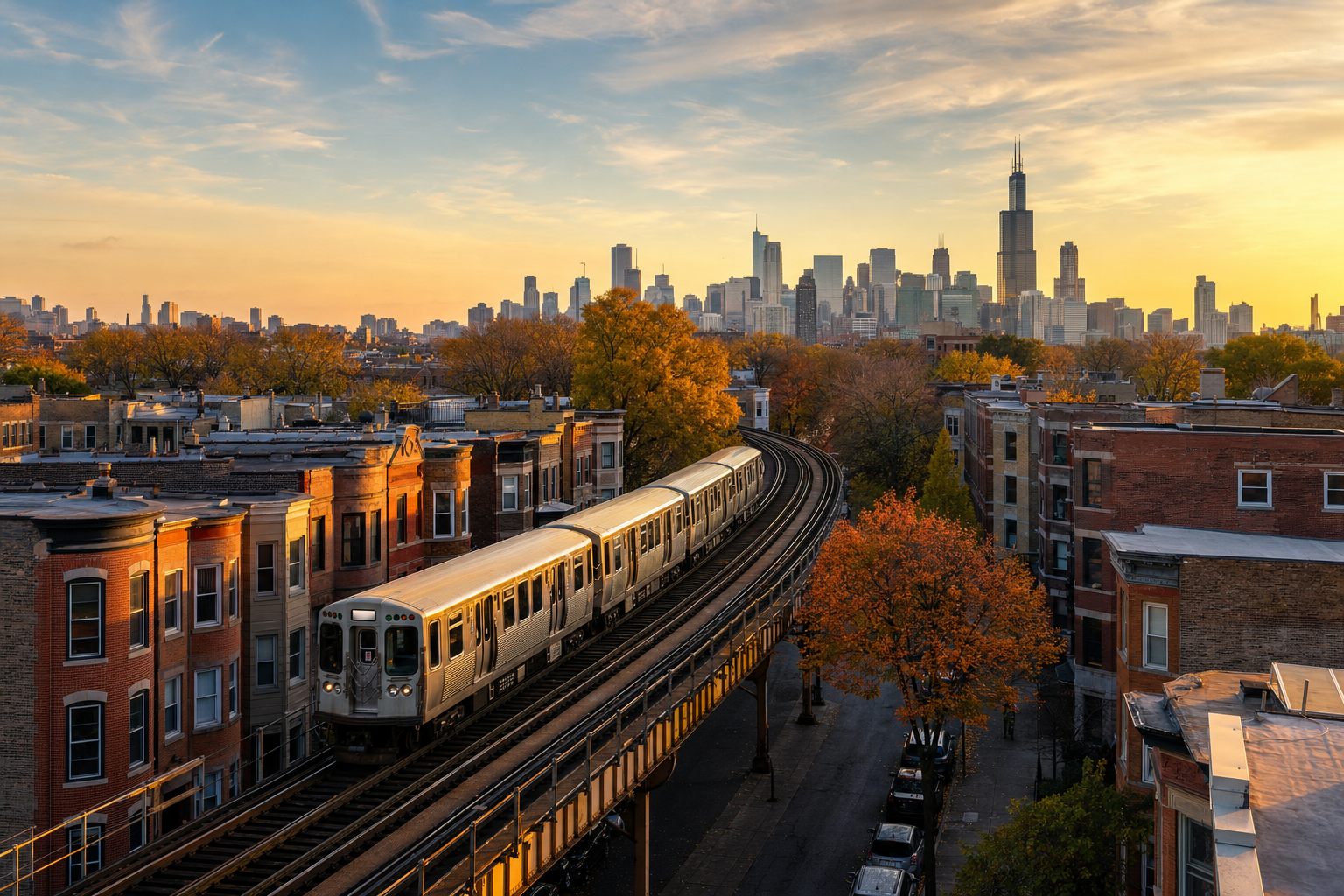
Most first-time visitors to Chicago see the Loop, the lakefront, and maybe a deep-dish dinner, then fly home having missed the neighborhoods that actually built the city’s character. This guide covers four of them: a national park unit that grew out of a 19th-century labor strike, a South Side district once called the “Black Metropolis,” a converted rail line turned elevated park, and a Lower West Side neighborhood home to the largest Latino cultural institution in the country. None of them require leaving the city limits, and none of them show up on the standard downtown itinerary.
Last verified: September 2, 2026. This guide was built from National Park Service records, Chicago Park District sources, museum and historical-society documentation, and current news coverage — not personal visits — and every factual claim below is linked to its source in the sentence that makes it.
Quick Answer
- Pullman National Historical Park — a preserved 1880s company town on the Far South Side, and the origin point of the 1894 Pullman Strike.
- Bronzeville — the South Side district known as the “Black Metropolis” during the Great Migration, with nine surviving architectural landmarks.
- The 606 — a nearly three-mile elevated park built on a former rail line, connecting four Northwest Side neighborhoods.
- Pilsen & the National Museum of Mexican Art — a Lower West Side neighborhood home to the largest Latino cultural institution in the United States, with free admission.
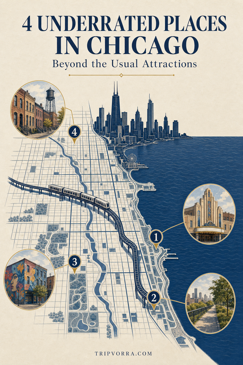
Map key: 1) Bronzeville • 2) Pullman National Historical Park • 3) Pilsen & the National Museum of Mexican Art • 4) The 606
1. Pullman National Historical Park
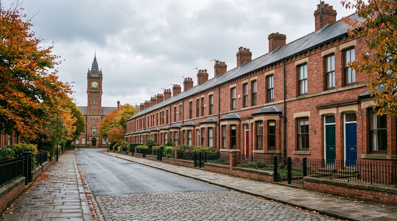
On the Far South Side, roughly 14 miles from the Loop, sits a neighborhood industrialist George Pullman built from scratch in the 1880s to house workers at his railroad sleeping-car factory — uniform brick rowhouses, a shopping arcade, a church, and a clock-towered administration building, all designed as a model company town. It didn’t stay a model for long. In 1894, after Pullman cut wages during a depression without lowering the rents he charged workers in his own company housing, employees struck. The American Railway Union organized a nationwide boycott of Pullman cars that crippled rail traffic across the country, and the federal government deployed marshals and army troops to break it, leading to dozens of deaths. Congress, looking for a conciliatory gesture, unanimously passed a national Labor Day holiday that same year.
The neighborhood’s labor history didn’t end there. In 1925, A. Philip Randolph organized the Brotherhood of Sleeping Car Porters here, the country’s first Black labor union, made up of the Black men Pullman employed as porters. After 12 years of negotiation, it became the first African American union to win a labor contract with a major American company. President Obama designated Pullman a national monument in February 2015, and legislation signed on December 29, 2022 upgraded it to Pullman National Historical Park — the first National Park Service unit in Chicago proper.
Getting There and Practical Info
- Getting there: the Metra Electric District’s 111th Street/Pullman station drops you within a short walk of the Visitor Center; by car it’s roughly a 30-minute drive from downtown via the Bishop Ford Freeway.
- Hours: the historic district’s streets and exteriors are viewable dawn to dusk; the Visitor Center keeps its own posted hours and offers a daily guided tour at 1 p.m., subject to cancellation for staffing or weather.
- Cost: free — there’s no admission fee for the grounds, the Visitor Center exhibits, or the daily tour.
- Distance from the Loop: about 14 miles, roughly a 30-minute drive.
- Time to allow: 1–2 hours to walk the historic blocks and go through the Visitor Center; longer if you catch the 1 p.m. tour.
Who Should Go
Pullman rewards people who want their history with a specific date and a paper trail attached — the strike, the boycott, the union, the designation are all documented, dated, and explained on-site rather than gestured at. It’s less suited to a quick photo stop; the rowhouses read as a normal residential block until the Visitor Center supplies the context that makes them a National Park Service unit. Go for the labor history, and budget time for the exhibits, not just the exterior.
2. Bronzeville
Bronzeville runs along the South Side roughly from 26th to 51st Streets, and during the Great Migration it became the destination for hundreds of thousands of Black Southerners arriving in Chicago, barred by restrictive covenants from settling almost anywhere else in the city. Confined to this strip, the community built its own parallel city within a city — banks, insurance companies, newspapers, theaters — that sociologists St. Clair Drake and Horace Cayton documented in their landmark 1945 study, giving the neighborhood the name it still carries: the “Black Metropolis.” Nine of that era’s buildings — including the Chicago Bee Building, the Chicago Defender Building, Unity Hall, and the Eighth Regiment Armory — were jointly designated Chicago Landmarks as the Black Metropolis–Bronzeville District in 1998, and in 2023 Congress created the Bronzeville-Black Metropolis National Heritage Area, directing up to $10 million in federal funding over 15 years toward preserving more than 200 sites across the district.
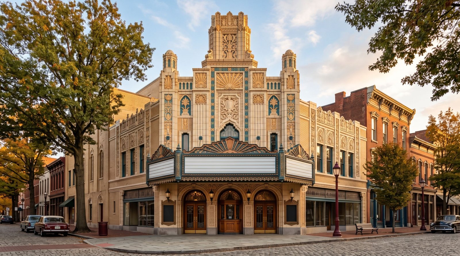
Two of those landmarks carry outsized national significance. The Wabash Avenue YMCA, built in 1913 as one of the only places in the city where Black travelers and residents could find lodging, hosted historian Carter G. Woodson when he launched Negro History Week there in February 1926 — the observance that later expanded into Black History Month. And the Sunset Cafe, opened in 1921 as one of the first integrated jazz clubs in the country, hosted a young Louis Armstrong during his formative years in Chicago, alongside Earl Hines and Cab Calloway, before Prohibition-era raids and shifting fortunes eventually closed it as a music venue.
Getting There and Practical Info
- Getting there: the CTA Green Line stops at 35th-Bronzeville-IIT and 43rd Street, both within walking distance of the district’s core landmarks.
- Hours: the landmarks are exteriors best viewed by daylight; individual sites like the South Side Community Art Center keep their own posted hours.
- Cost: free to walk the district; individual museum or gallery admission varies by site.
- Distance from the Loop: about 4–6 miles, roughly 15–20 minutes by car or train.
- Time to allow: 2–3 hours for a self-guided walk past the major landmarks; longer if you book a guided tour.
Is It Worth the Trip?
Yes, and it’s worth treating as a walk rather than a single stop — the landmarks are spread across roughly two miles, and the history connects directly to two things most visitors already know about (Black History Month and Louis Armstrong) without realizing where either one actually happened. Pair it with the South Side Community Art Center or the DuSable Black History Museum nearby if you want an indoor complement to the exterior walk.
3. The 606
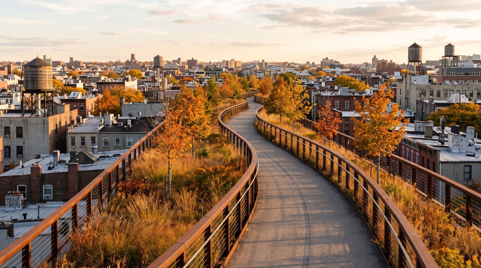
Before it was a park, this elevated corridor was a working freight line. The Bloomingdale Line was built in 1873 by the Chicago & Pacific Railroad and ran freight trains — serving, among other local industries, a Schwinn Bicycle warehouse — for well over a century, with the last through freight running in 2001. Canadian Pacific used the elevated tracks for railcar storage until 2012, and the City of Chicago purchased the right-of-way the following year. After a design process backed partly by a $2 million grant from the Alphawood Foundation, the trail opened to the public on June 6, 2015, as The 606 — named for the ZIP code prefix shared by every Chicago address.
The finished trail runs 2.7 miles on a former rail berm elevated roughly 17 feet above street level, stitching together four Northwest Side neighborhoods: Wicker Park, Bucktown, Logan Square, and Humboldt Park. Because it sits above the street grid, it functions less like a conventional park path and more like a linear observation deck — rooftop gardens, alley murals, and backyard vantage points most visitors never see from ground level.
Getting There and Practical Info
- Getting there: the CTA Blue Line’s Damen stop sits near the trail’s eastern end in Wicker Park; the western end near Ridgeway Avenue is reachable by bus or a short drive into Humboldt Park.
- Hours: open daily, 6 a.m. to 11 p.m.
- Cost: free, with 12 access points roughly every quarter-mile, including 17 ADA-accessible ramps.
- Distance from the Loop: about 4–5 miles to the eastern (Wicker Park) end, roughly 15 minutes by car or train.
- Time to allow: 1–2 hours to walk or bike the full 2.7-mile length one way; less if you’re only covering a section.
Worth Knowing Before You Go
The 606 is flat, paved, and easy compared to the other three stops on this list, which makes it the one to fold into a lighter day or a bike rental. It’s also the least likely to feel undiscovered once you’re actually on it — it’s a genuinely popular local amenity, especially on weekends — but it earns its place here because most visiting tourists never hear about it despite ten years of being one of Chicago’s better-designed public spaces.
4. Pilsen and the National Museum of Mexican Art
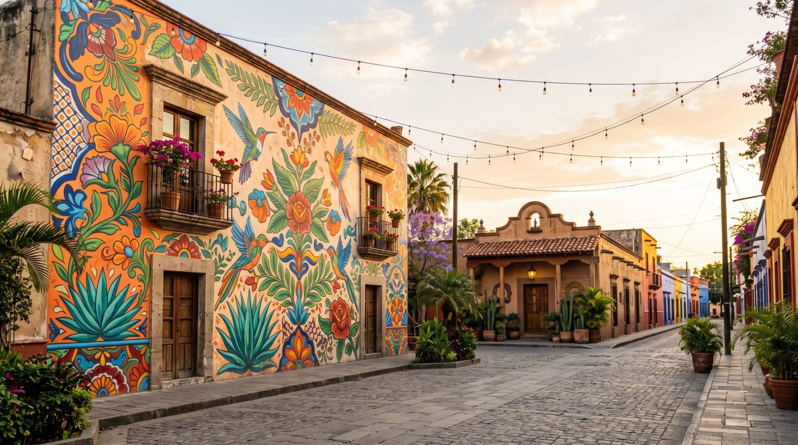
Pilsen takes its name from Plzeň, the Bohemian city its Czech founders came from when the neighborhood formed in 1878, and it stayed a Slavic, working-class enclave for decades — Czechs, Croatians, Poles, and Slovaks all sustained it through the 1930s. Mexican migration began gradually in 1945, then accelerated sharply in the early 1960s when construction of the University of Illinois at Chicago campus displaced Mexican workers and residents from the neighborhoods and factories it demolished nearby, pushing many into Pilsen despite open discrimination, including storefront signs reading “No dogs or Mexicans.” By 1970, Latino residents had become the majority, and the transition that started under pressure produced one of the most cohesive Mexican-American communities in the country — formally recognized when the Pilsen Historic District joined the National Register of Historic Places on February 1, 2006.
That community’s anchor institution sits inside Harrison Park. Founded in 1982 as the Mexican Fine Arts Center Museum by educator Carlos Tortolero and a group of fellow Mexican-American educators, it took its current name in December 2006 and now describes itself as the largest Latino cultural institution in the United States — and the only Latino museum accredited by the American Alliance of Museums. Admission has been free since it opened, a deliberate choice the museum has maintained through four decades specifically to keep the collection accessible to the community it was built to serve.
Getting There and Practical Info
- Getting there: the CTA Pink Line’s 18th Street station drops you in the middle of the neighborhood’s main commercial corridor; the museum itself is a 10–15 minute walk into Harrison Park.
- Hours: Tuesday–Sunday, 10 a.m.–5 p.m., with extended hours until 8 p.m. on the first Wednesday of the month; closed Mondays and major holidays.
- Cost: free — admission has never been charged, museum-wide.
- Distance from the Loop: about 2–3 miles, roughly 10 minutes by car or train.
- Time to allow: 1–2 hours for the museum; add another hour or two to walk the 18th Street mural corridor.
Best For
Visitors who want a genuinely free, world-class collection without a downtown crowd, and anyone interested in how a neighborhood’s identity gets built under pressure rather than by design. It’s also the most walkable of the four stops for pairing with food — Pilsen’s restaurant corridor along 18th and Blue Island is dense enough to turn the museum visit into a full afternoon without a car.
One Place We Left Off
Wicker Park is the obvious candidate for a “beyond the usual attractions” Chicago list, and it’s deliberately not on this one. It genuinely was an under-the-radar artist enclave in the 1990s, but that description hasn’t been accurate for a long time — Niche currently ranks it #16 among Chicago neighborhoods, with a median rent around $2,346 a month and an A+ nightlife grade, putting it well above the citywide median on both counts. It’s a legitimately fun neighborhood, and it also happens to be one endpoint of The 606, which is already on this list — but “underrated” stopped being an honest word for Wicker Park itself once its rent and nightlife scores caught up with its reputation.
Frequently Asked Questions
Do I need a car to visit these four places?
No. All four are reachable by CTA or Metra: the Green Line serves Bronzeville, the Metra Electric District’s 111th Street/Pullman station serves Pullman, the Pink Line’s 18th Street stop serves Pilsen, and the Blue Line’s Damen stop sits near The 606’s eastern end. A car makes Pullman faster given the distance, but it isn’t required for any of the four.
Is it safe to visit Bronzeville and Pullman?
Both are normal, actively occupied Chicago neighborhoods with regular foot traffic around their landmark sites and visitor centers — treat them the way you’d treat any city neighborhood you don’t already know, and plan visits to line up with posted hours and daylight, especially in Pullman where the historic district reads as residential blocks between attractions.
Can I pair two of these into a single day?
Bronzeville and Pilsen pair reasonably well as a South/Lower West Side day, both reachable by train in under 20 minutes from the Loop. Pullman is far enough south, and substantial enough once you’re there, that it works best as its own outing. The 606 fits easily alongside a Wicker Park or Logan Square afternoon.
What’s the best time of year to visit?
Late spring through early fall gives you the most comfortable conditions for walking Pullman’s outdoor blocks and The 606’s exposed elevated trail. The National Museum of Mexican Art and Bronzeville’s indoor sites work year-round, though winter cuts down on how much of Bronzeville’s exterior walking tour you’ll want to do in one stretch.
Between a company town that sparked a national holiday, a district that gave the country Black History Month, an elevated rail line turned public park, and a museum built specifically to be free, these four places make the case that Chicago’s most consequential history rarely happened downtown. If you’re planning a wider Midwest itinerary, our guides to Florida’s underrated beach towns beyond Miami and Orlando and five underrated places in Miami beyond South Beach cover the same instinct — looking past the postcard — in two very different cities.